High-Flying Solutions for Precision Surveys – Meet Surveying Drones
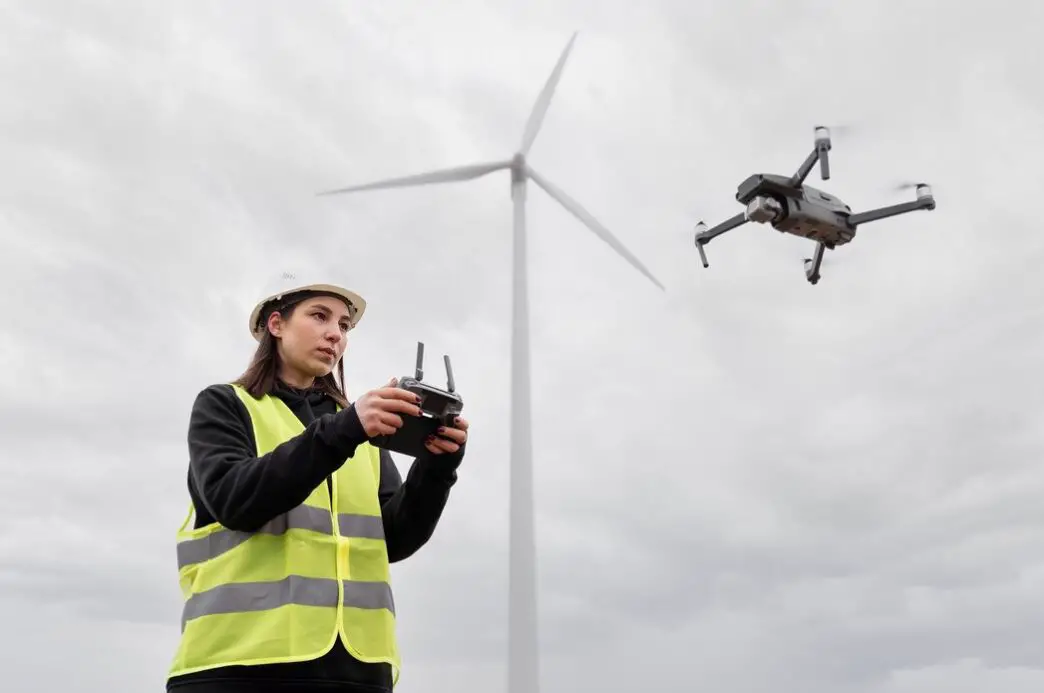
The industrial and construction sectors are rapidly adopting drones for a variety of services. Although there may be initial reluctance to adopt new technologies, those who do so typically reap substantial benefits. One such application is the use of UAVs for carrying out aerial surveys.
Surveying has been practiced ever since early humans made the transition from nomadic hunter-gatherer lifestyles to settled agricultural and industrialized settlements. It became immensely popular because people needed to have accurate ground knowledge when construction was being done. As a result, drones are the most recent technological advancement in this industry.
Maybe you’ve been thinking about using drones for your surveying needs, but you’re worried about certain things. Maybe you’ve thought to yourself, “How do drones conduct a survey?” And “Are aerial survey results accurate?” You can allay these worries by learning more about the process of conducting aerial surveys, the kinds of tools used, and the features of UAVs that are essential for improving accuracy. Let’s break everything down.
How Aerial Surveying Works and Flight Preparation
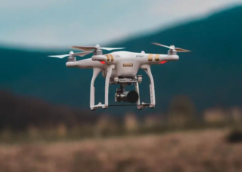
Surveying drones generate a wide range of useful information, including multispectral maps, thermal maps, LiDAR point clouds, multispectral maps, orthomosaic maps, and 2D & 3D models. These aerial survey drones can achieve survey precision with relatively little effort from the raw data collected.
Ideally, drones shouldn’t take off until the mission’s outcomes have been mapped out. Therefore, it is crucial to identify the necessary products (such as 3D models, 2D orthomosaics, etc.) during the planning phase.
Before drones were widely available, aerial survey crews frequently had to operate in hazardous environments like busy building sites or difficult terrain. While employing drones helps mitigate this danger, a comprehensive site study is still necessary to guarantee a secure workplace.
The flight plan establishes the trajectory of the drone, the camera angles it will use to gather data, and the degree of overlap between individual images. Once the mission is loaded, it is flown, accomplishing the initial phase of the aerial survey.
When paired with other precision survey tools (ground control points, relative position kits, and photogrammetry kits), a drone becomes an integral part of a POS (Position and orientation System). Consequently, the pictures collected are each assigned ground-based reference points.
Precise survey information can be obtained when images are matched with accurate details from the GCPs, RTK, or PPK. In other words, this means that the precision of the remote pilot’s UAV system is determined by the quality of all its components.
Role of Drones in Surveying
1. Cartography/land surveying
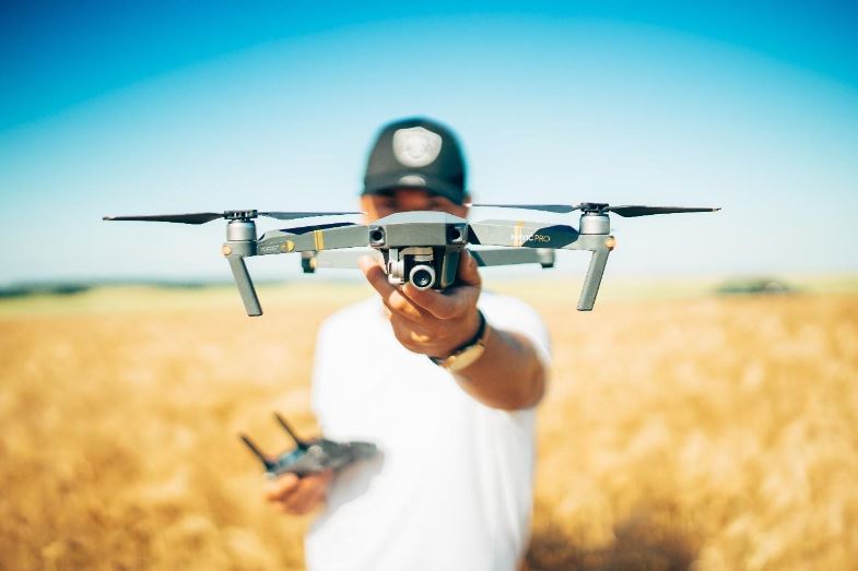
Drone surveys produce high-resolution orthomosaics and precise 3D models of regions with limited or no previous data. As a result, complex or inaccessible areas can have high-quality cadastral maps generated rapidly and with little effort. In addition, surveyors can extract features such as signs, barriers, traffic markers, fire stations, and drainages from the images.
Once processed with photogrammetry software, these same images can generate extremely precise contour lines, elevation models, break lines, and 3D reconstructions of landscapes and structures.
2. Urban Development
As cities get denser and more complex, they need careful planning, which in turn necessitates resources for intensive data collection. Drones have made it possible for urban planners to gather massive volumes of timely data with much less manpower and in much less time. Planners can analyze the environmental and social conditions of the sites and the potential effects of various scenarios with the help of the data and images generated using drones.
3. Land Control And Development
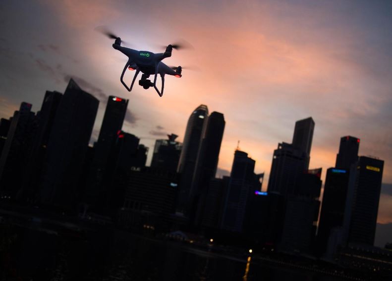
Drones’ ability to collect aerial images speeds up and simplifies topographic surveys used in land planning and management. This is evident during the initial phases of site selection, allotment design and planning, and road, building, and utility construction completion phases.
Due to the low-effort, low-cost nature of drone data collection, periodic photos can be taken and superimposed on the blueprints to check if the building is progressing as planned.
4. Measurement Of Stockpile Volume
It is also feasible to derive volumetric measurements from these images using 3D mapping software. The rapid and low-cost volume measurement method is ideal for calculating stocks in quarrying and mining operations for inventory or monitoring.
A drone allows surveyors to collect more topographic data points, leading to more precise volume measurements. They can do so without harming themselves by climbing down and up a stockpile to collect the information. In addition, the site’s activities can continue uninterrupted since drones collect the data from above.
5. Slope Surveillance
DTMs and DSMs created from drone imagery can be used as a basis for extracting slope measurements with the help of automated GIS analysis. Knowing the slope of the land allows for its classification and subsequent use in slope monitoring for things like landslide prevention.
Orthomosaics captured at various times allow researchers to observe and quantify the earth’s movement over long periods. Therefore, this information can be used to anticipate landslides and protect vital infrastructure like roads and bridges from harm.
The Bottom Line
Drone surveying has been increasingly popular in recent years due to its efficacy in gathering data and creating accurate maps and 3D models of a region. As a result of their low risks, high productivity, worldwide precision, and low costs, drone surveys have gained prominence in many fields, from building to farming.
Therefore, drone mapping and evaluation are essential skills for any land surveyor or anyone hoping to enter the field. Drones are an integral part of the work of land surveyors who use them for 3D mapping, aerial surveying, photogrammetry, topographic surveying, and numerous other applications.
